

Line of sight over terrain and forest
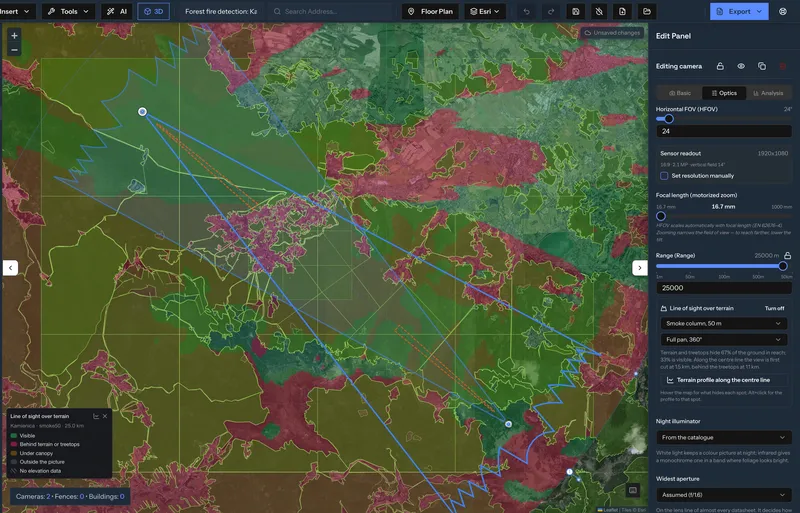
Each camera sweeps up to 50 km around it, over elevation data and the height of the forest canopy. Green ground is seen, red ground is hidden behind terrain or treetops.
WILDFIRE DETECTION · CAMERA PLANNING
See which slopes a camera on a hilltop mast covers across terrain and forest, how large the smoke is in the picture at 13 km, and whether the mast holds in the design wind.
FILM · 3:29
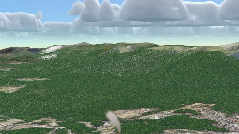
Two 40 m masts in the Karkonosze and Jizera Mountains and a fire in the valley between them. Every number in the film comes from the planner.
The film plays from YouTube, with audio in 7 languages and subtitles in 33.
FIVE CHECKS · ONE PROJECT
Each camera sweeps up to 50 km around it, over elevation data and the height of the forest canopy. Green ground is seen, red ground is hidden behind terrain or treetops.
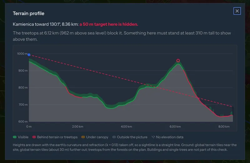
Click any spot and the profile draws the sightline over the ground and the treetops, with the earth's curvature and refraction taken into account, and says how tall something there must be to show.
The camera's view is built from the manufacturer's lens data. The Hikvision DS-2TD8167-230ZG2F/W in the film zooms from 24.33° to 0.41°: at 13.2 km the frame is 94.5 m wide and a 35 m smoke trail is 711 pixels across.
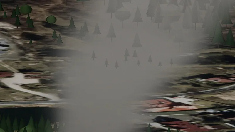
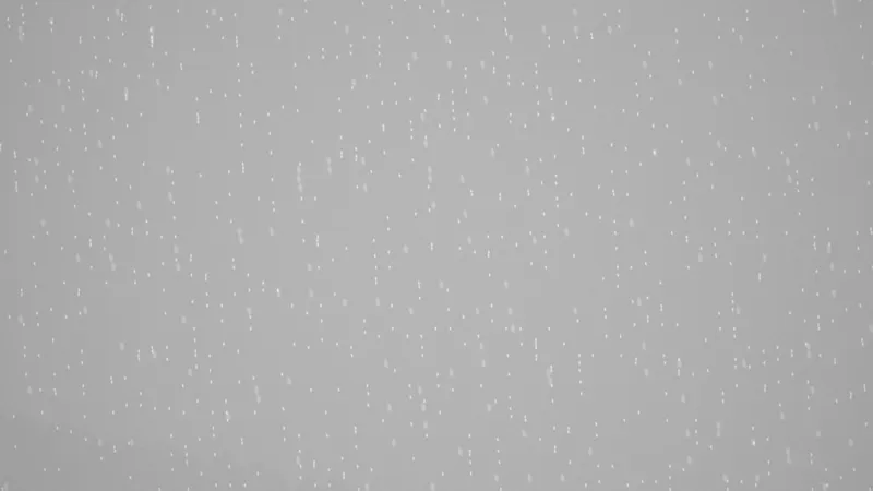
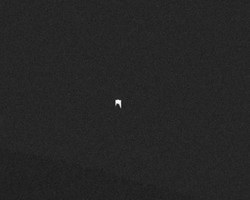
In light rain of 2.5 mm/h visibility drops to 5.9 km and the visible channel shows grey. The 640 × 512 thermal channel still sees the fire at 13.2 km: 14 × 27 pixels, 59 times brighter than ground at 20 °C.
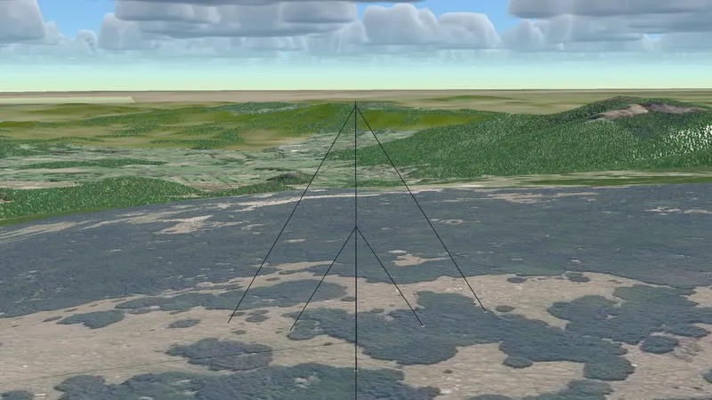
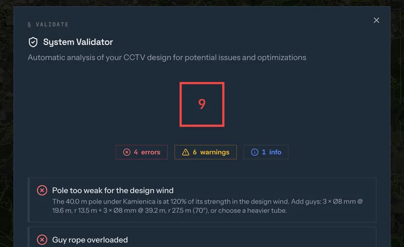
Mast height, the camera at the top and the guys belong to the same project. The validator checks the pole in the design wind and proposes guys: a 40 m tube at 120% of its strength drops to 23% with 3 × Ø8 mm at 19.6 m and 3 × Ø8 mm at 39.2 m.
WHAT GOES INTO THE PLAN
Line of sight over terrain and the 3D camera view are in the Pro plan. See plans
Terrain and forest decide it more than the lens. With a 1000 mm lens the frame at 13.2 km is 94.5 m wide, so 35 m of smoke is large in the picture, but a ridge or treetops in between hide it completely. The line of sight check shows which ground each camera can actually see.
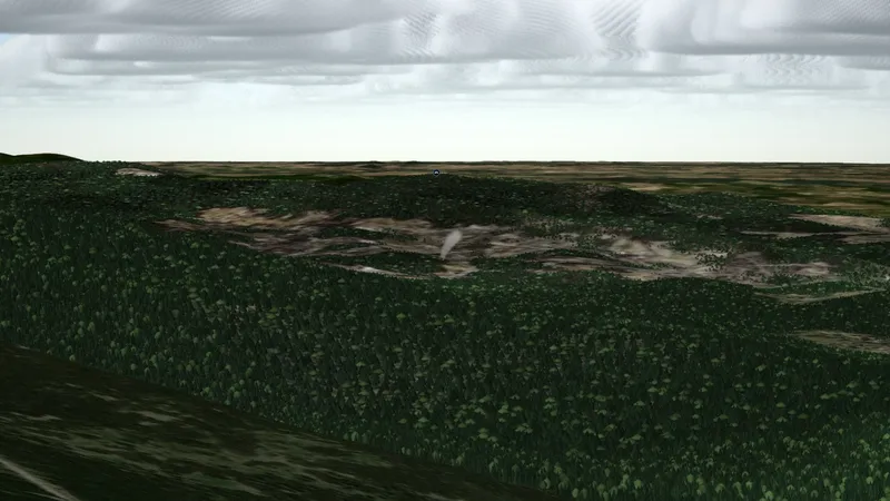
Tall enough to see over the forest around it and over the ridges in between. In the film, two 40 m masts in forest with a 20 m canopy gave opposite answers: one saw the smoke 13.2 km away, the other missed it at 8.36 km because treetops on a plateau were in the way.
In light rain, yes, even at long range. In the film the visible channel shows grey at 5.9 km visibility, while the thermal channel shows the fire 13.2 km away. Smoke is almost transparent in long-wave infrared, so thermal sees the flames rather than the smoke.
Line of sight over terrain and the 3D camera view are in the Pro plan. Placing cameras on the map works on every plan, within its camera limit.
Find the site, add the forest and a mast, and check what the camera can see before anything is built.